Virtual Visualizations in Forestry Planning
Developing digital products and services for planning natural resources and land use is increasingly more important. The project of Virtual Forest 2.0 aims to develop Virtual Forest even further and expand the use of the environment to serve forestry planning and wood supply in both regional and national level.
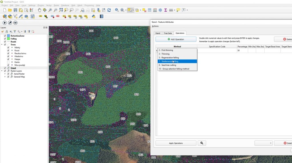
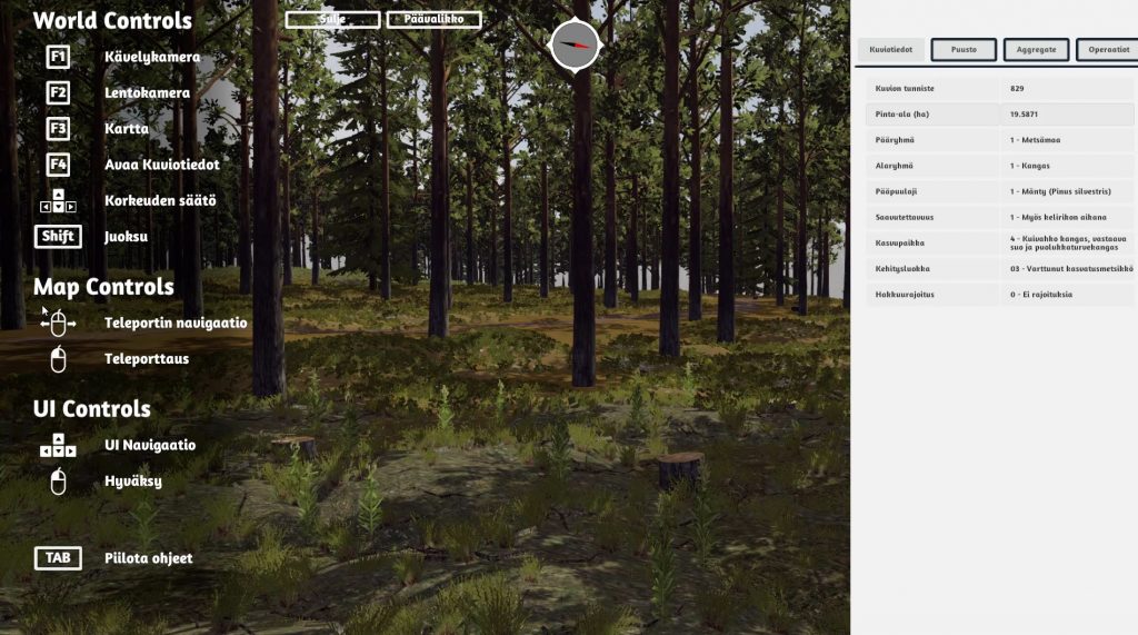
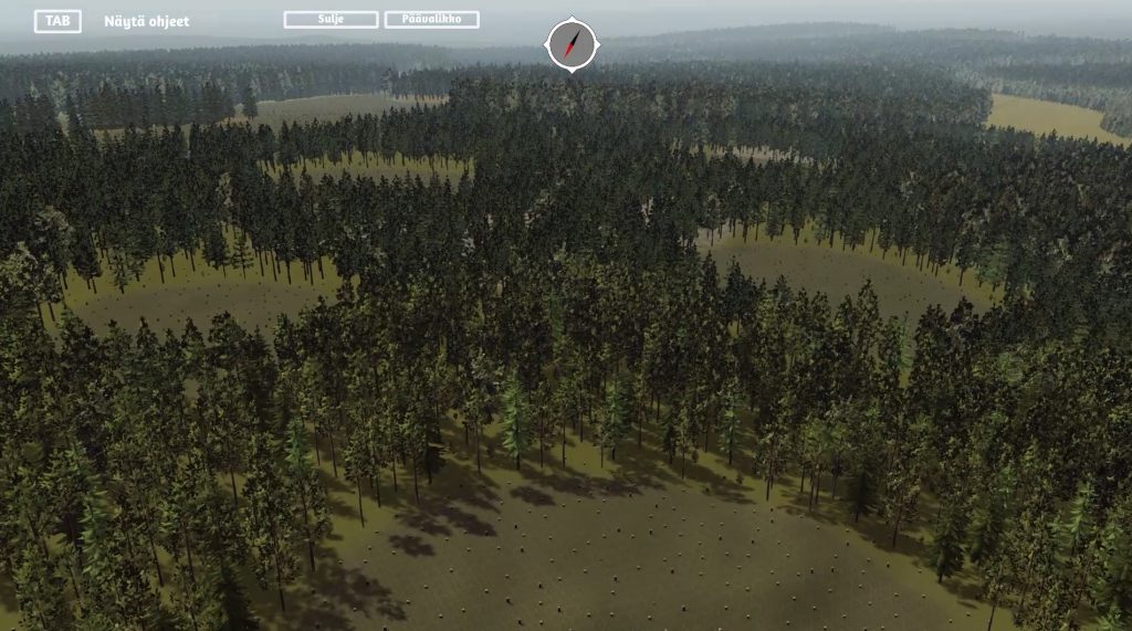
The virtual forest 2.0 uses open QGIS geographic information system to generate changes in forest patterns or tree data, habitat data and terrain data in a virtual 3D-visualization. The visualization creates terrain shapes, trees, vegetation, waters, rocks and rock lands as well as the felling areas. The user of the environment can move around either by foot or in the air and view the generated changes of the land, as well as see information about regional trees and the changes of wood growth.
There is a public version of the Virtual Forest 2.0 published in September 2020, which can be downloaded from this link:
PROJECT
Virtual Forest 2.0
TIMETABLE
01/06/2018 – 30/09/2020
TOTAL BUDGET
496 570 €
CONTACT PERSON
Markus Korhonen / +358 40 672 5061
The Virtual Forest 2.0 offers a completely new technological tool for the use of inclusive planning of natural resources, and the project will have long-term effects to ensure the supply of raw materials in the forestry industry of Lapland. The added value and potential of the project can also be explored for other important livelihoods in Lapland, such as for tourism.